Retired Techie
Getting older, not necessarily wiser!
Getting older, not necessarily wiser!
A heightmap as used here refers to a graduated colored bitmap that represents terrain height. This sort of file is usable in creating land masses in some 3D graphics programs. In this example, I will be creating a random island like landmass. I will be using Gimp version 2.10 to create the actual image, then importing it into a POV-Ray version 3.7 scene script. (more…)
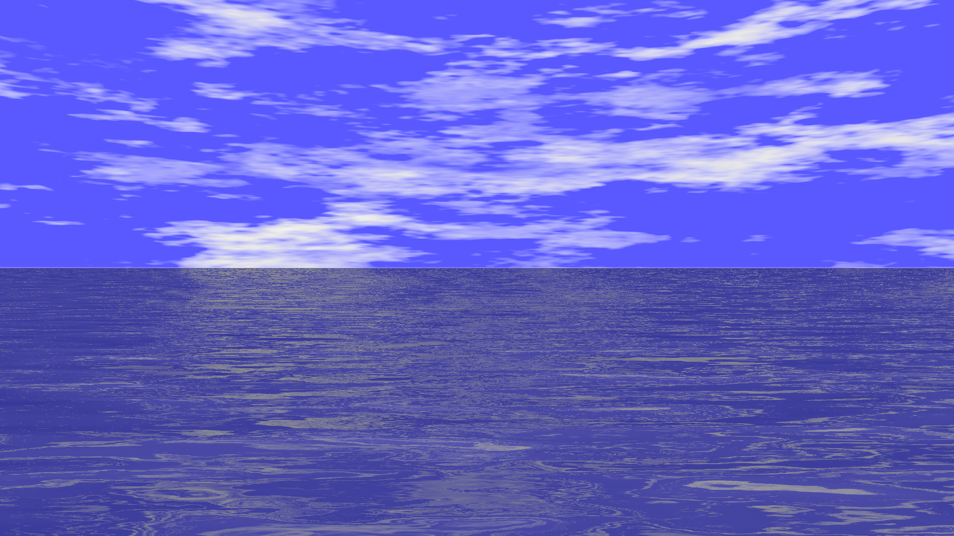
Below is a POV-Ray scene file to render a sky with light clouds above the water. While there are many much more complicated ways to get render this scene with better results, these are pretty good for a scene script that took about half an hour to write.